FLASH POINT CITY 2050
Project: Flash Point City 2050: Los Angeles against the Mountains - Urban futures amidst the San Gabriel Mountains, Los Angeles River, Santa Ana Winds, Tujunga Debris Flows, Northridge Earthquake Faults, Coastal Marine Layers, and Angeles Crest Wildfires
Class: Advanced Studio, California College of the Arts, Architecture Division
Date: Fall 2014
Instructors: Katherine Rinne
The endless cycle of drought, winds, fires, floods, debris flows, and topsoil depletion in a landscape riddled with active fault lines and sustained by imported water supplies means that Los Angeles is a battleground; and it is fighting a continuous war against nature that is of its own making. Entrenched in another year of record drought, the skirmishes accelerate in frequency and destruction. How can architecture, site design, and planning be used in the Greater Los Angeles area to help the region adapt to these conditions; to impede flooding and fires; to restore natural systems; to retain topsoil; and to use and re-use existing water resources? Students proposed theoretical and practical strategies to address these issues beyond the year 2050.
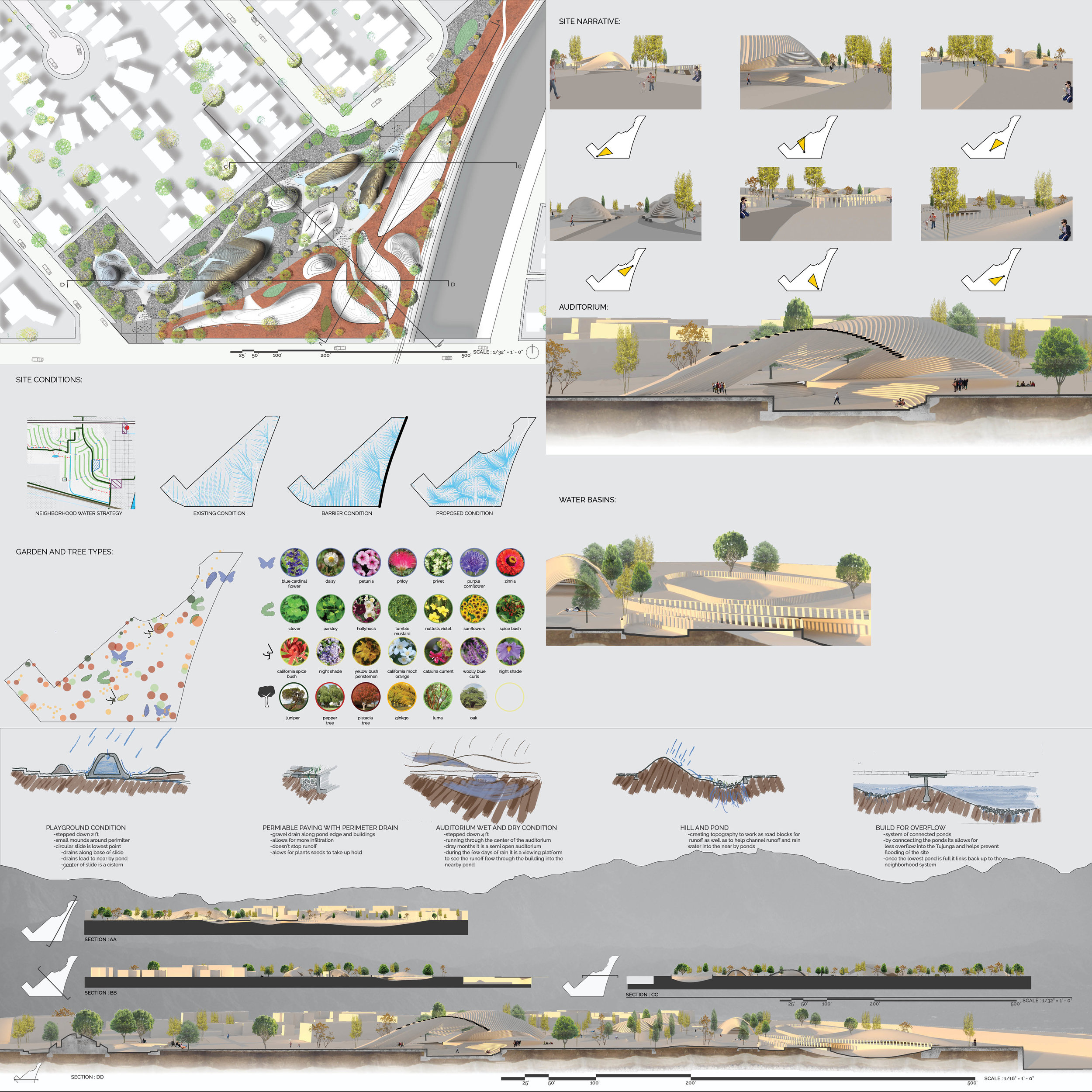
This master planning and architecture studio allowed students to think and design at building, site, neighborhood, urban, and watershed scales. Students investigated structural, spatial, and material systems that challenged existing program, planning, landscape, and architectural settings and requirements in order to anticipate future program needs, especially those related to blue technology, fire resistant building systems, flooding, natural water filtration systems, and other environmental issues. Students developed detailed models, drawings, and renderings at varied scales throughout the semester.
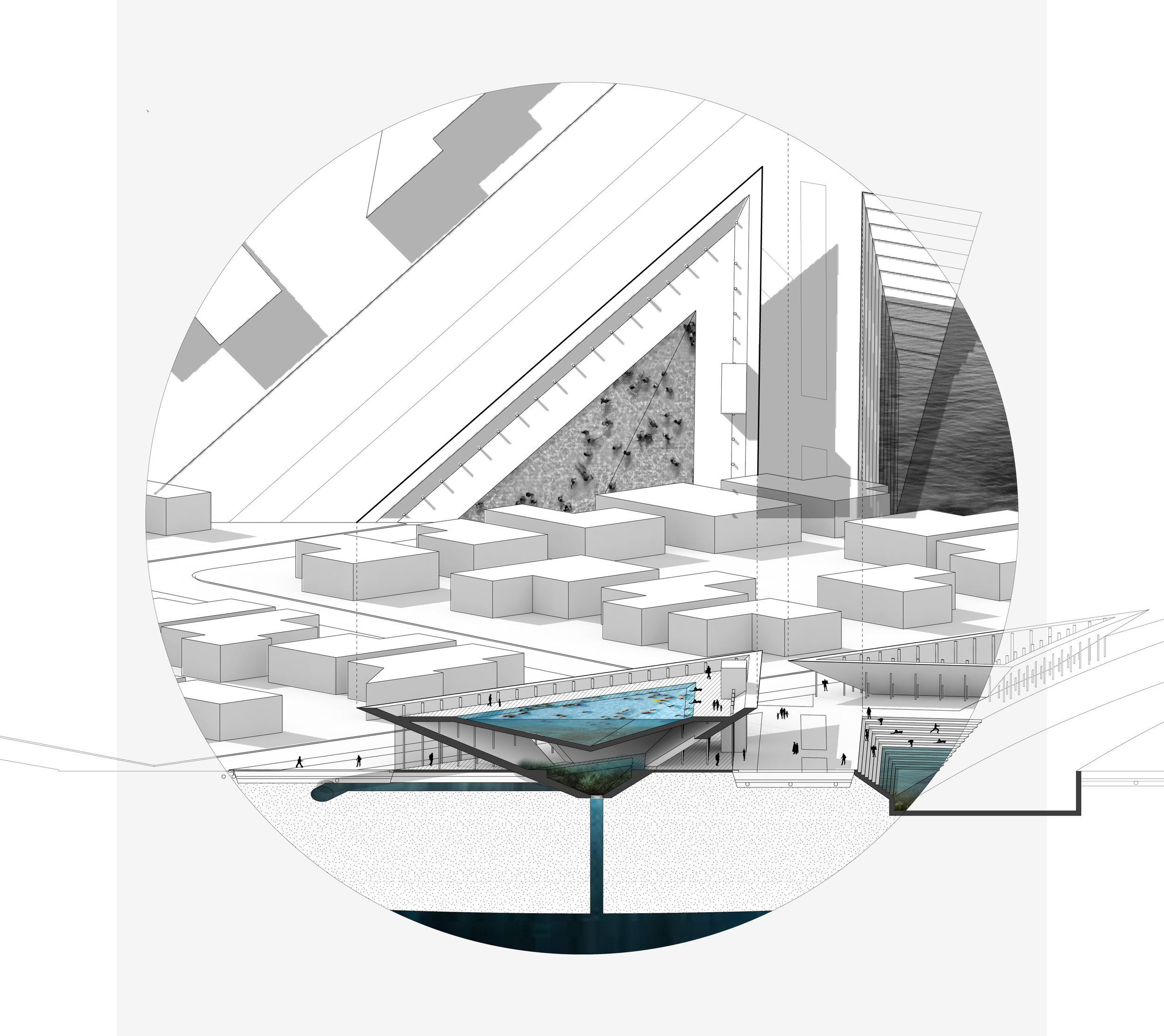
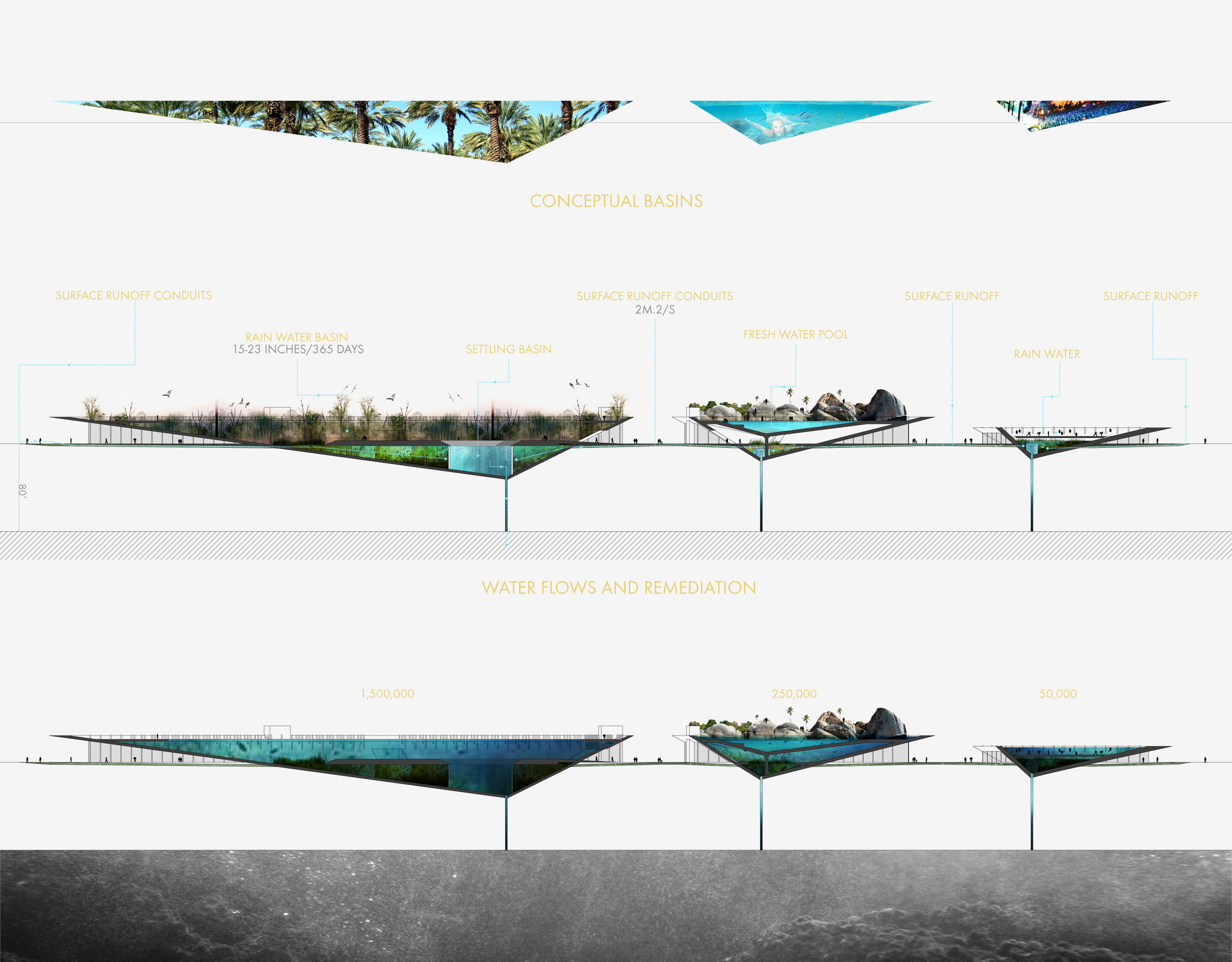
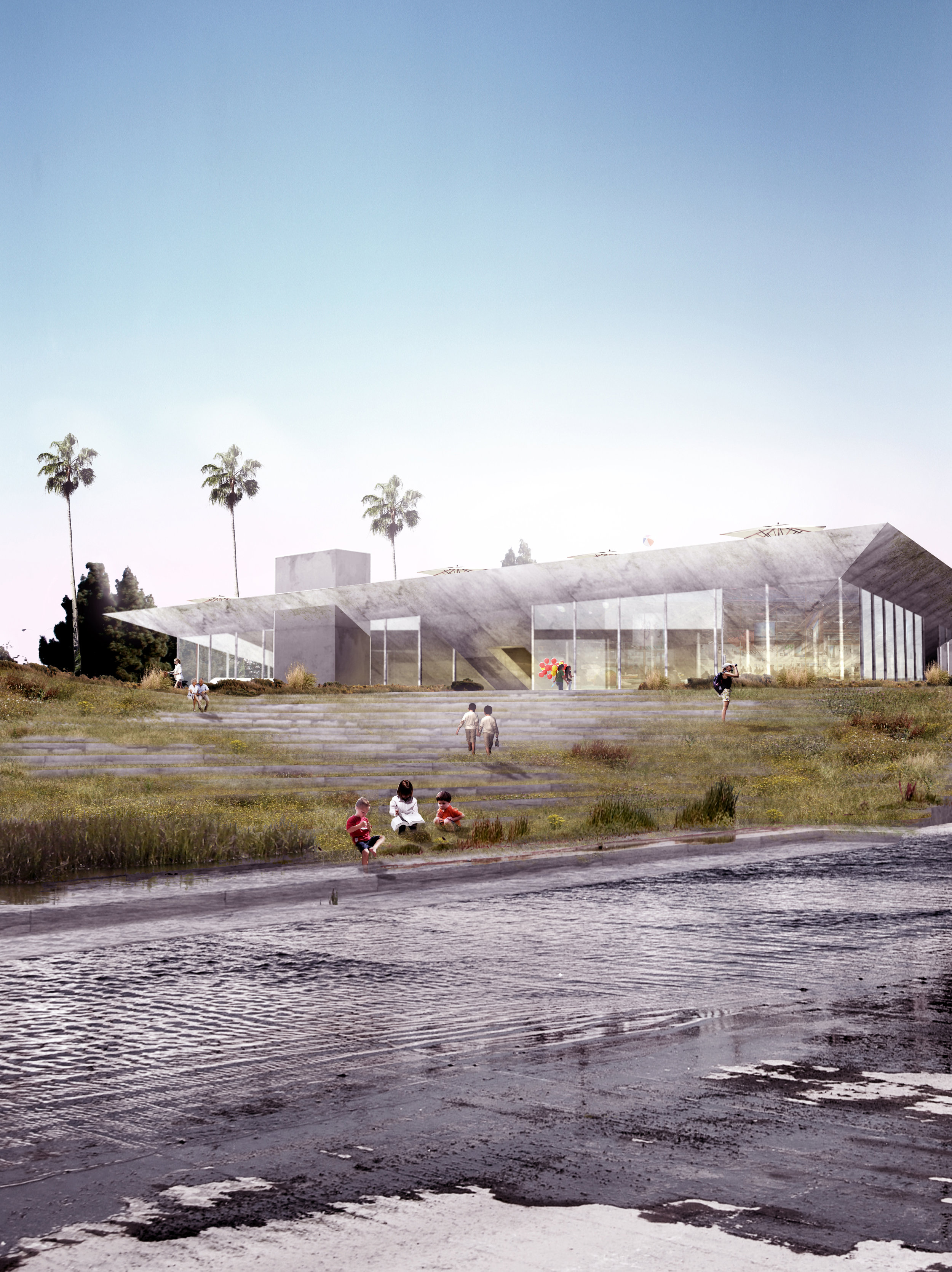
Investigations focused on the intersection of water and architecture at different scales and locations along the Tujunga River in the San Fernando Valley (which feeds into the Los Angeles River), where, in spite of record droughts, three million tons of water can fall in one small valley of the river, in one day. Most of it, mixed with topsoil, flowed directly to the Pacific Ocean, wasted! The multi-functional hypothetical project allowed students to develop awareness and understanding of the interactions of ‘Earth, Wind, Fire, and Water,’ and, in particular traditional, contemporary, and innovative water management practices that deal with intermittent flooding, and to develop prototypes for water catchment, retention, aquifer recharge, purification, and reuse at building, site, and/or regional scales.


